 Basilical Heritage
Press kit
Updated 13 October 2026. Anything here may be used freely. Questions and review builds: info@basilical.com.
Basilical Heritage is a free virtual world atlas of cultural heritage, built on OpenStreetMap, Wikipedia, Wikidata and other open data projects. It is in beta through TestFlight now; the App Store release follows.

In one sentence
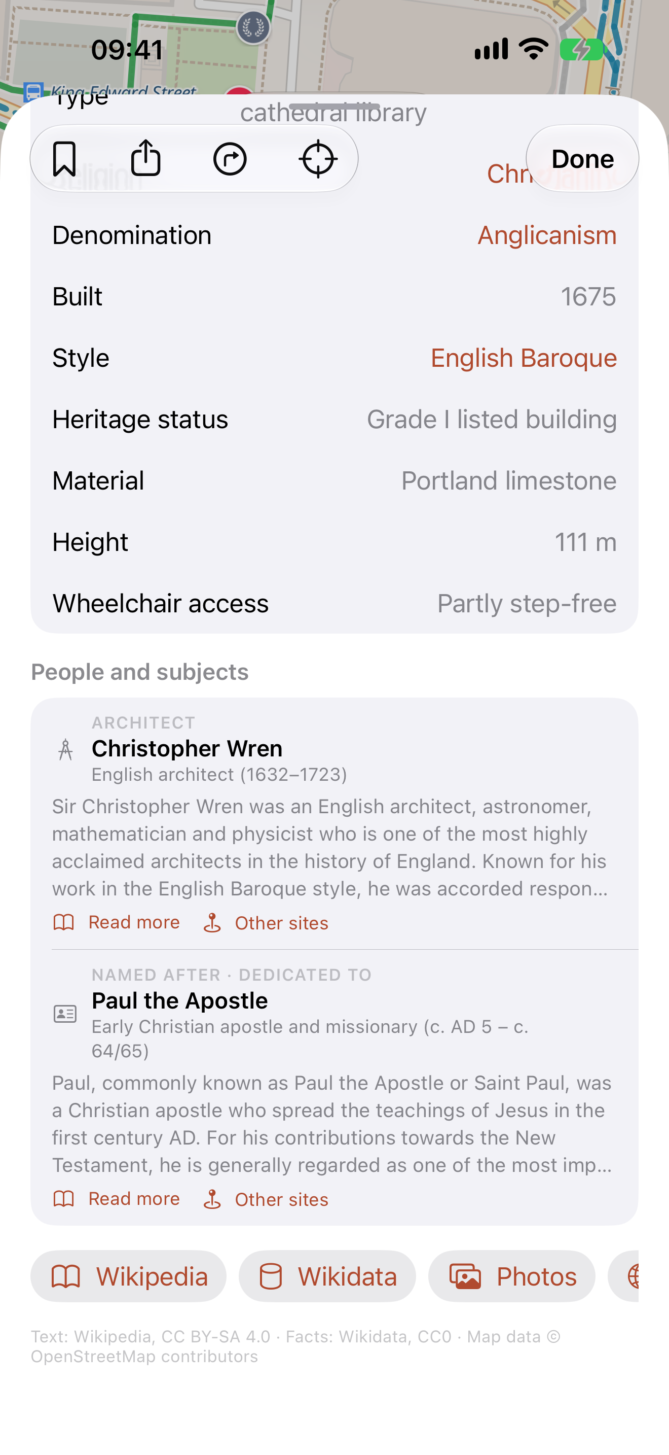
A map of castles, churches, palaces and monuments, each with its page: photo, facts, article and the people behind it, made from OpenStreetMap, Wikipedia and Wikidata.
In three
Basilical Heritage turns the world's cultural heritage into a map you can read. Tap a pin and get the photograph, the facts, the article in your language and the people who built it, all from open data and all credited. There is no account, no ad and no tracking, and your bucket list stays on your phone.
Fact sheet
| App | Basilical Heritage |
| App Store name | Basilical Heritage: Landmarks |
| Developer | Basilical e.U., Vienna, Austria (Peter Velösy) |
| Status | 1.0.1, in beta through TestFlight; App Store release to follow |
| Platforms | iPhone, iPad; Mac via “Designed for iPad” |
| Requires | iOS 26.1 / iPadOS 26.1 or later |
| Price | Free. No in-app purchases in 1.0 |
| Languages | Interface in English; article text in the reader's chosen Wikipedia language |
| Category | Travel |
| Website | basilicalheritage.com |
| Press contact | info@basilical.com |
| Data sources | OpenStreetMap (ODbL), OpenFreeMap tiles, Wikipedia (CC BY-SA 4.0), Wikidata (CC0), Wikimedia Commons, Mapzen Terrarium elevation |
| Privacy | No account, no analytics, no advertising, no tracking; location on device only |
What it does
- A page for heritage sites recorded in OpenStreetMap: photo, article, facts, people, related sites, opening hours
- Facts that link onward: tap a style, a religion or an architect and read about it
- Other sites: what else on the map is connected to the same people
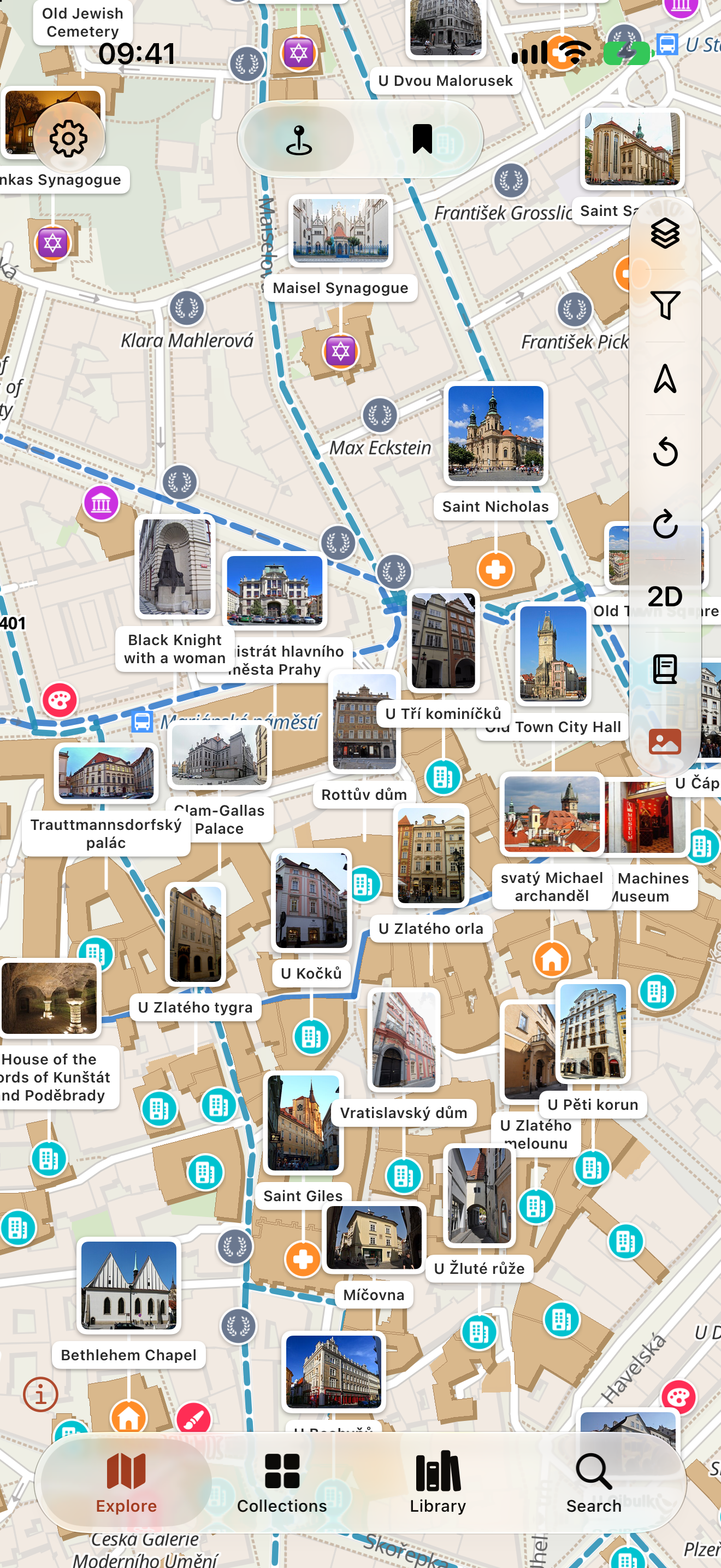
- Photo cards above the most prominent sites in view
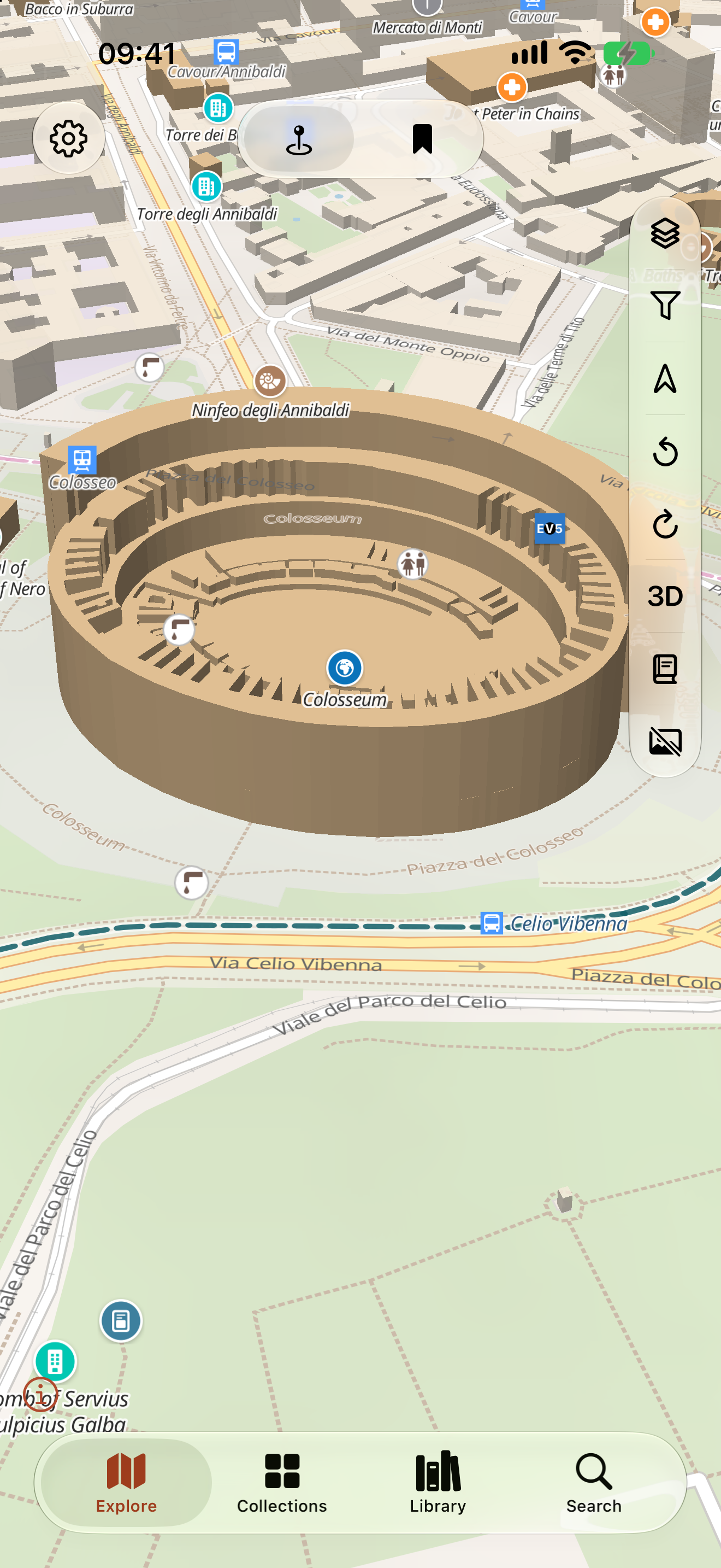
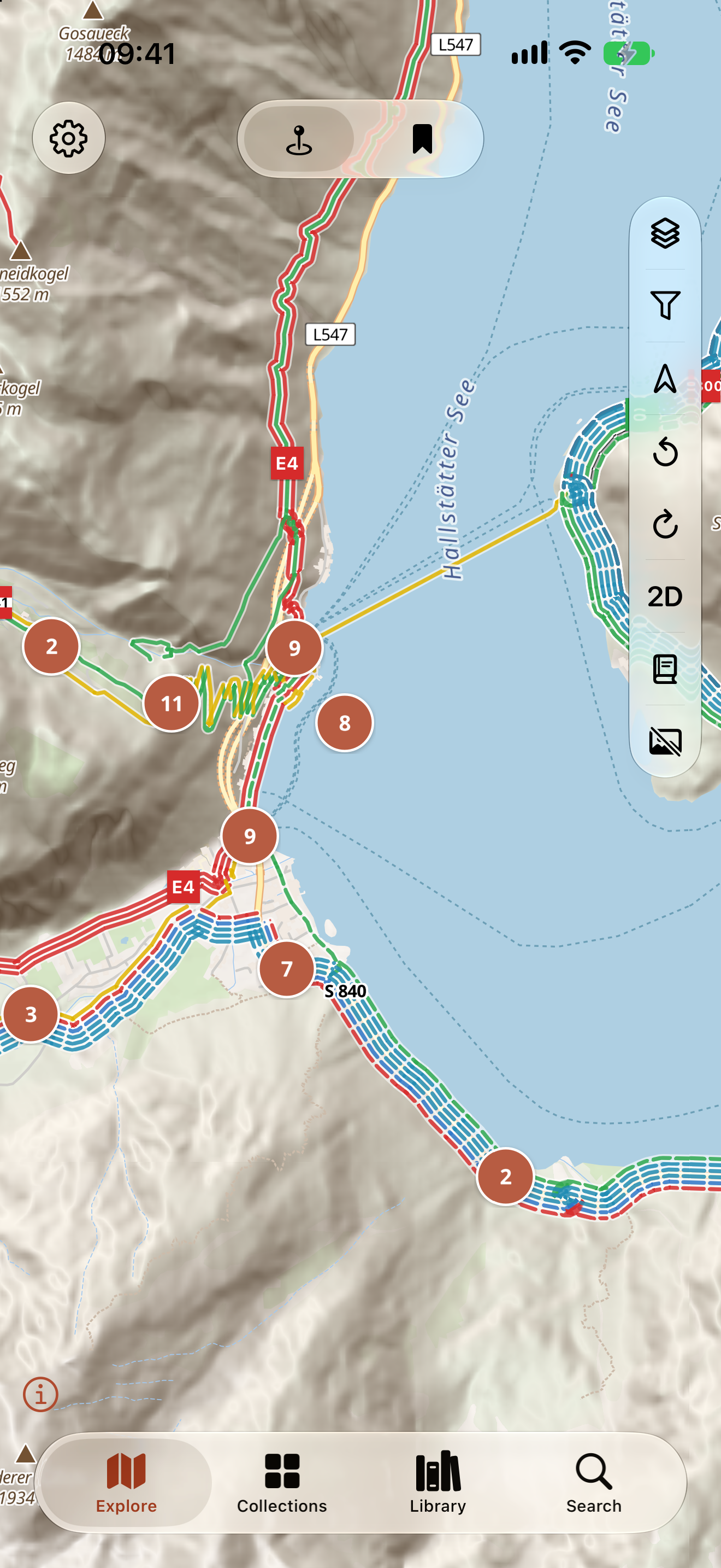
- 3D view with heritage buildings at their real heights
- Hillshade, peaks, marked hiking and cycling routes with waymarks
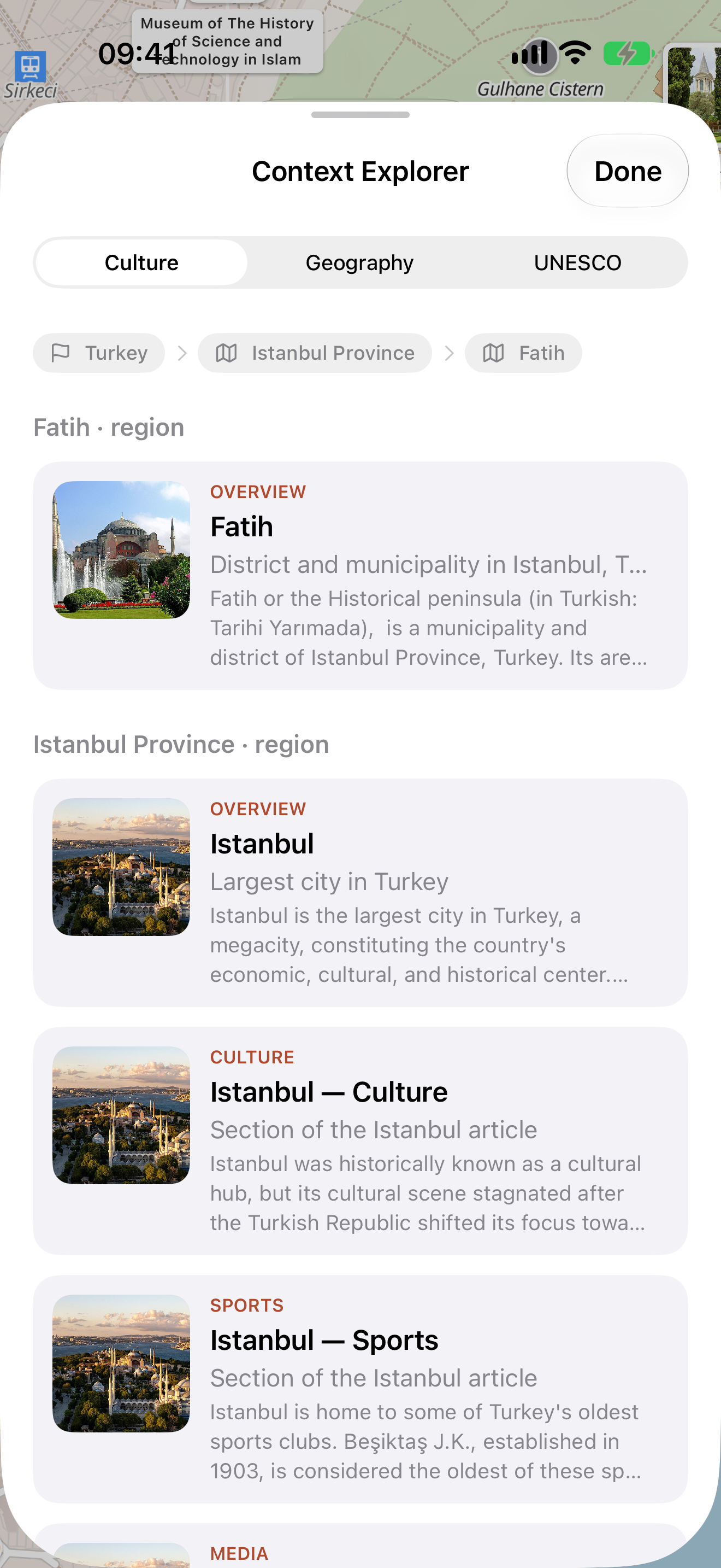
- Context Explorer: articles on the culture and the geography of the region in view, and the UNESCO sites near it
- Bucket list with share links, and a map mode showing only what is on it
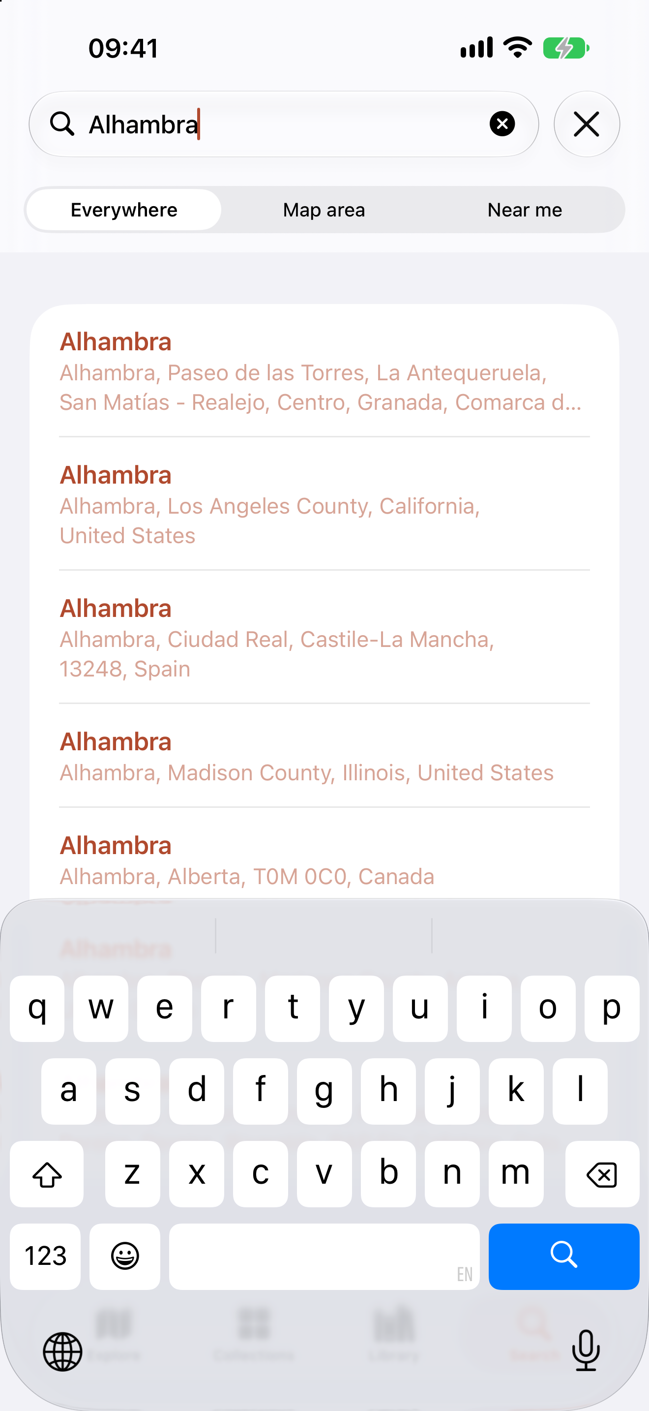
- Search everywhere, in the map area, or near you
- A hands-on introduction on the real map in Rome
Screenshots
Full resolution, 1320 × 2868, unframed and uncaptioned. Click one for the file.
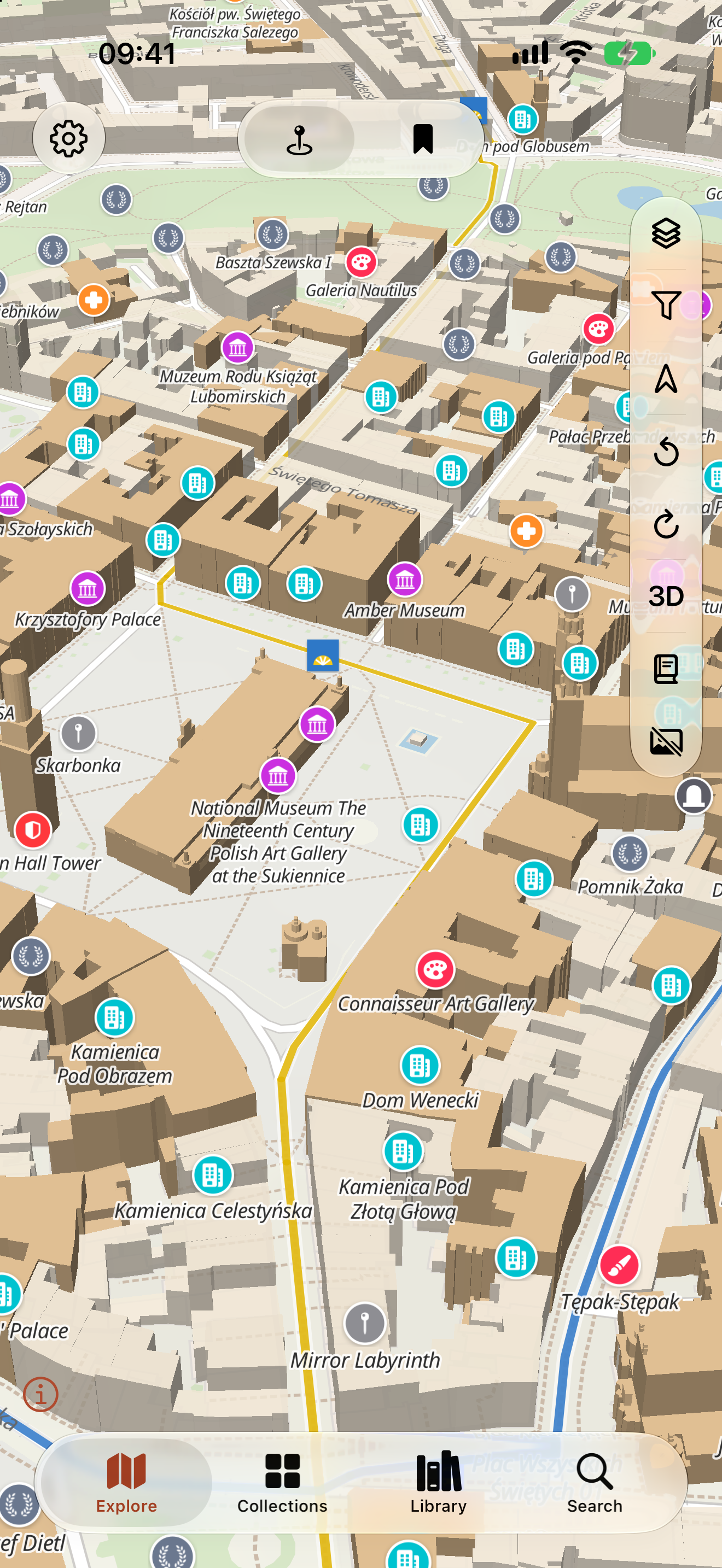
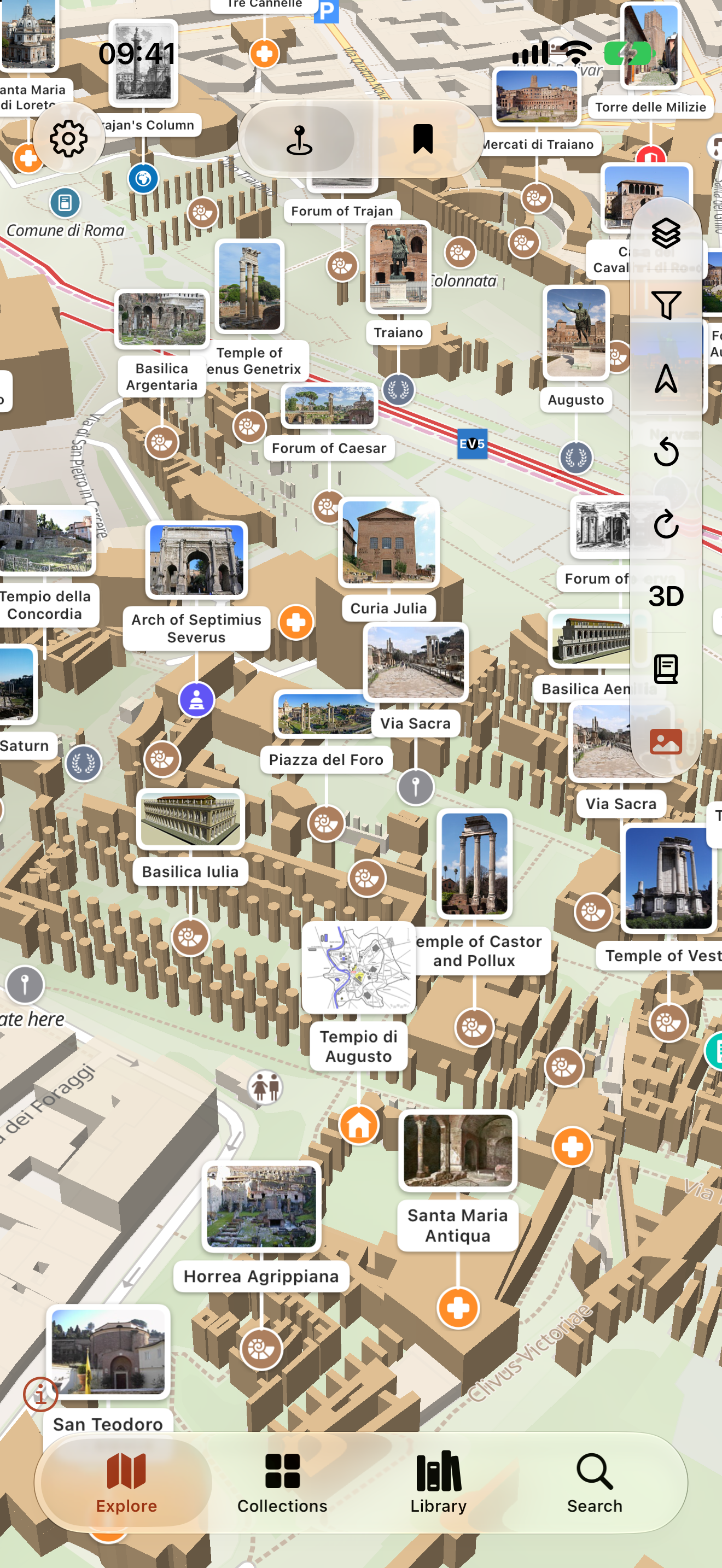
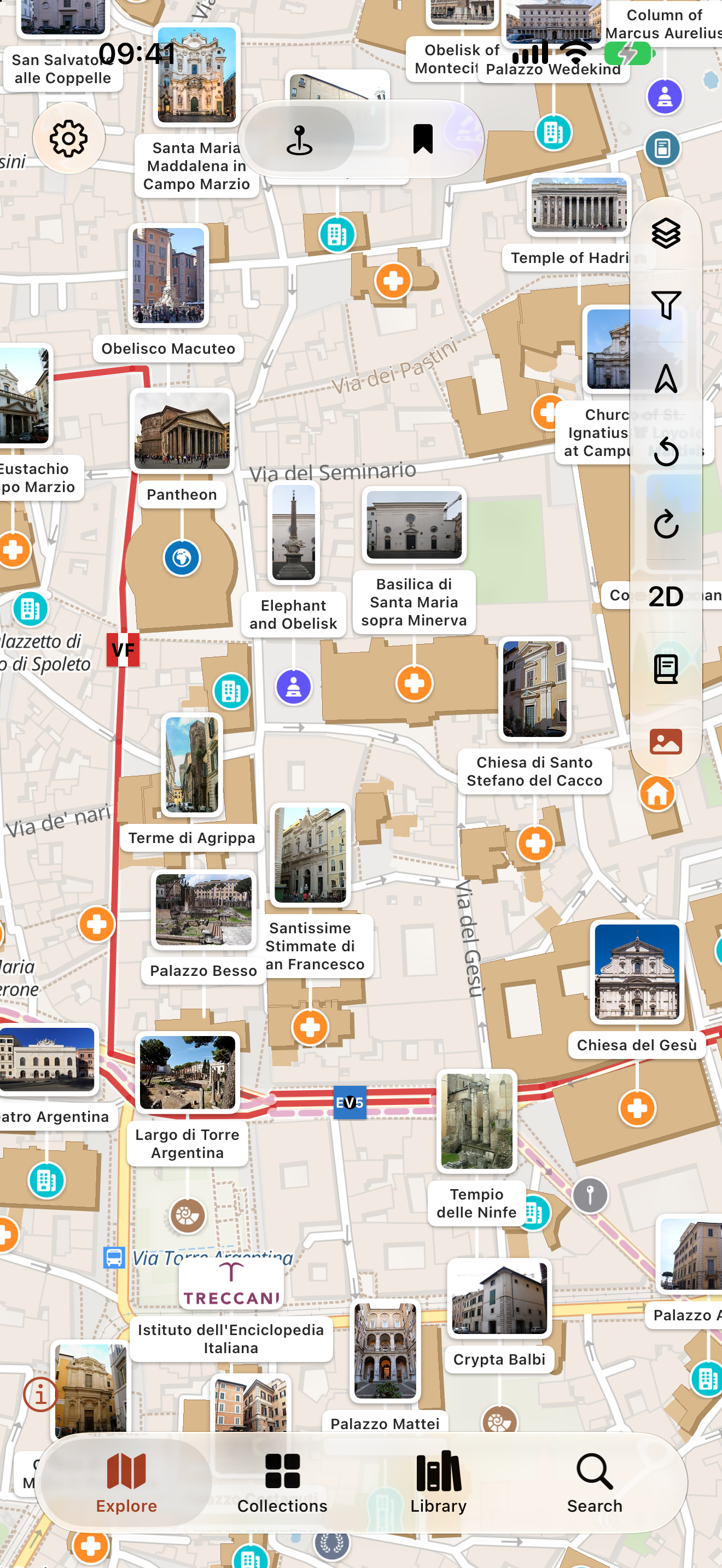
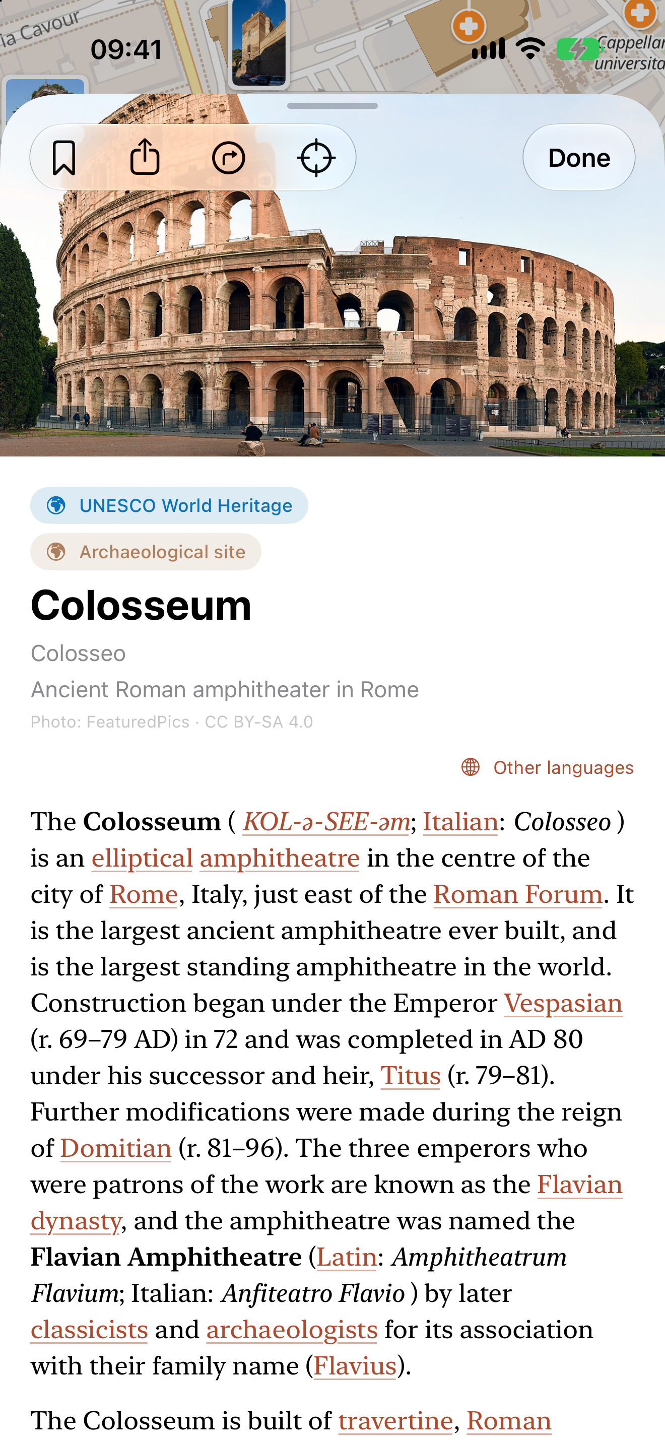
Credit and licensing
The app's own screenshots and icon may be reproduced freely in coverage of it. The map in them is © OpenStreetMap contributors under the ODbL; photographs shown inside the app come from Wikimedia Commons, each under its own licence, and are credited on the page they appear on.
Who makes it
Basilical e.U., a one-person software company in Vienna run by Peter Velösy, which builds custom web and mobile software. Basilical Heritage is its own product, written because no map answered the question of what a building actually is while you are standing in front of it.