See the world through a historian’s eyes
iPhone, iPad, Mac and Android · No account, no ads, nothing tracked
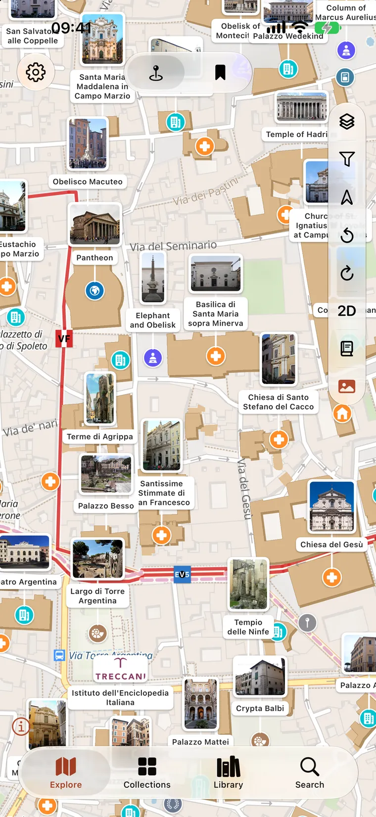
What it is
Based on OpenStreetMap, Wikipedia and other open data projects, which is why it reaches the chapel on the back road as readily as the cathedral.
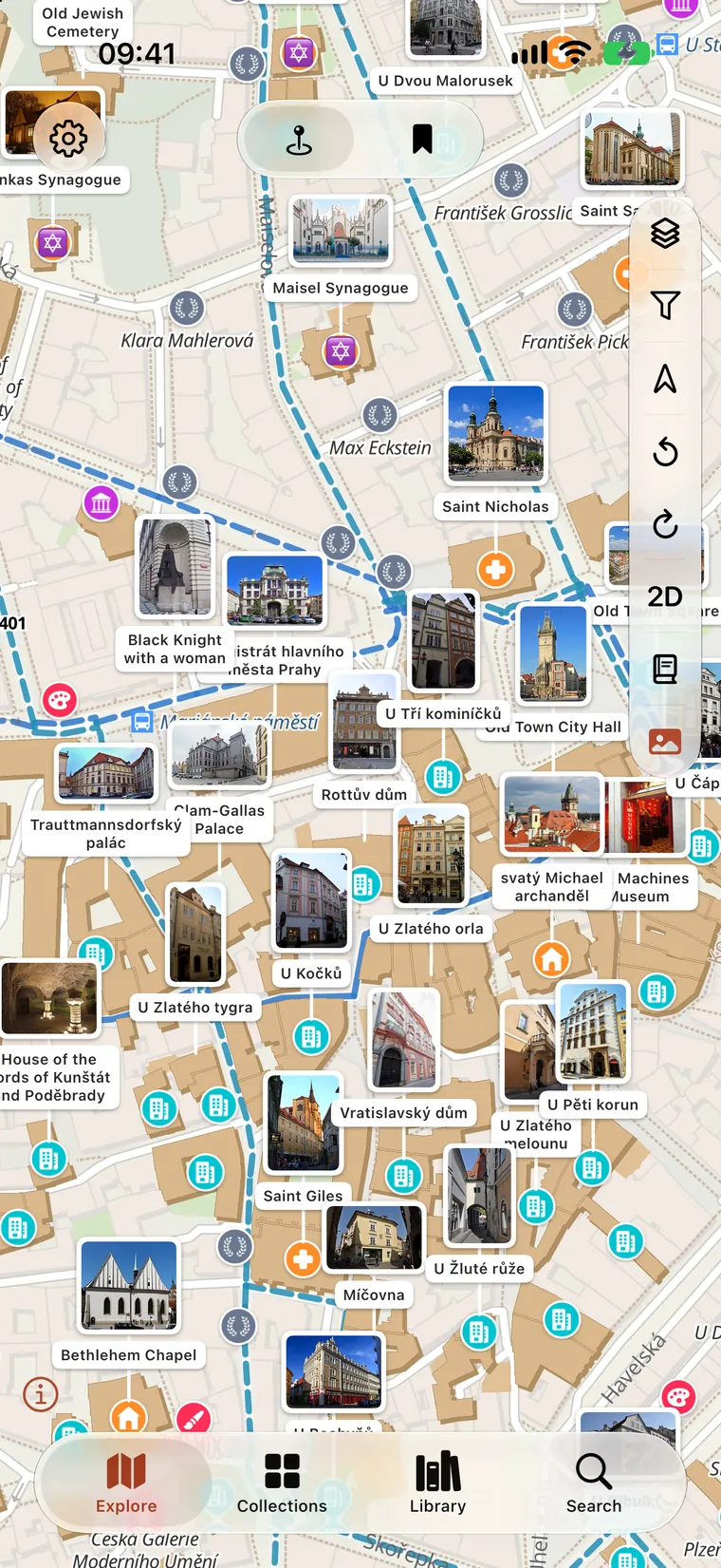
One tap further
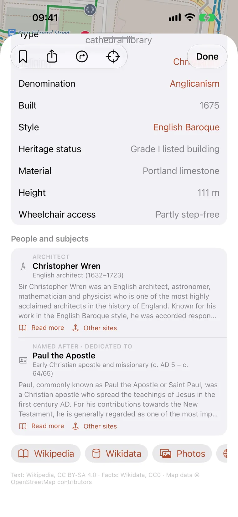
You can not only read about each monument, but look up related people, subjects and monuments.
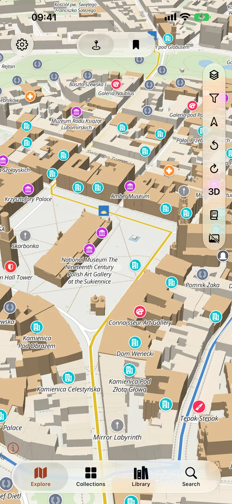
In three dimensions
Heritage buildings rise to the heights OpenStreetMap records for them, roof shapes and all, so an old town reads as a place rather than a plan.
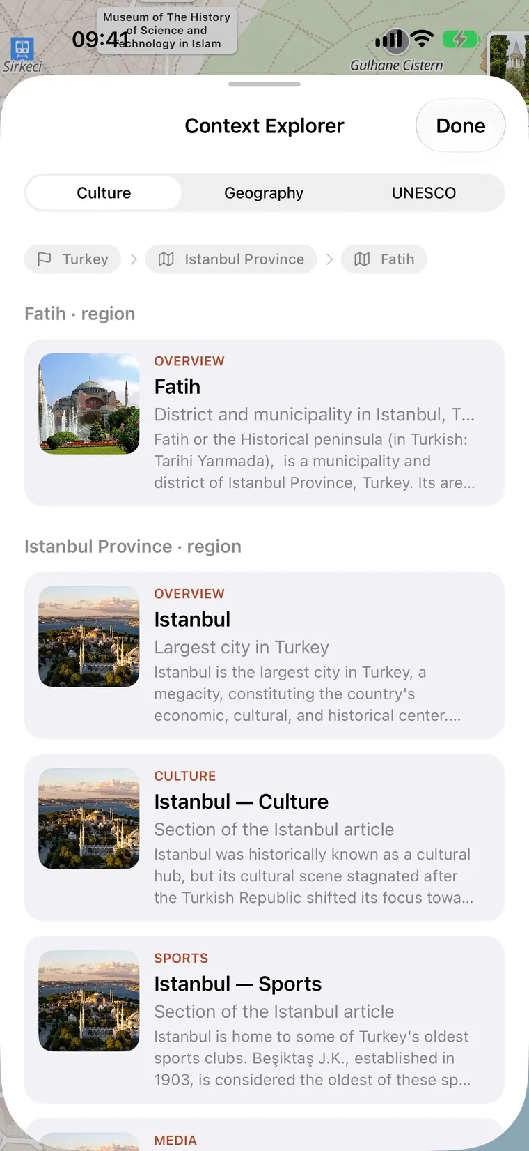
The region
Learn the culture and the geography of the region you are looking at, and find the UNESCO World Heritage sites nearby.
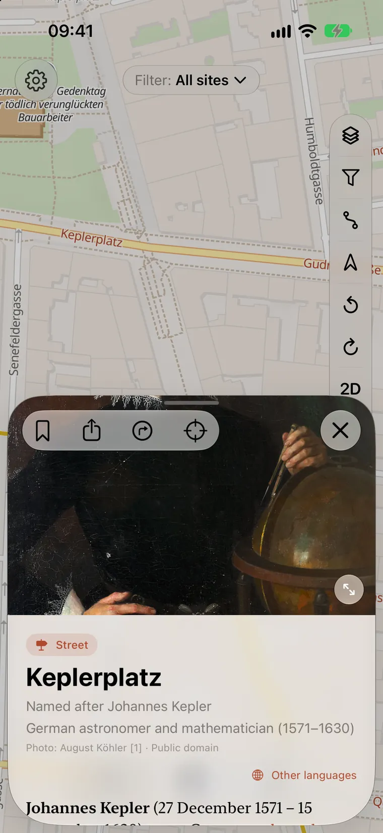
Street names
Streets named after a person, a place or an event are marked on the map. Tap one to see who or what it was, with a picture and the article.
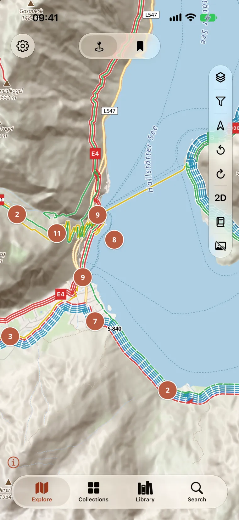
On foot and by bike
As OpenStreetMap records them, with their colours and waymarks, over hillshaded terrain and named peaks: a long-distance pilgrim way as readily as the path to the chapel on the hill.
From the air
Follow a hiking or pilgrimage route from the air, in three dimensions, through the towns and past the sites along the way. A themed trail can also be walked as a tour, its information boards as the stops.
Nothing. It is completely free.
Almost certainly yes. It covers the heritage sites OpenStreetMap records, anywhere in the world, more than two and a half million of them. If somewhere you know is missing, it is missing from OpenStreetMap too, and a nearby site's page shows you how to add it.
Not yet. The map and the pages load as you look at them. Offline maps are in development.
Only to put the map where you are standing and to sort "near me" results, and only when you ask for either. Refuse, and everything else still works. Your position never leaves the phone.
iPhone and iPad running iOS and iPadOS 26.1 or later, Macs with Apple silicon running macOS 26.1 or later, and Android phones and tablets running Android 8.0 or later.
 Heritage